Running & trail runs
Show pace, distance, elevation gain, and the shape of every road run or technical trail route.
 SnapStat Studio
Transform Apple Health workouts, recorded activities, and GPX, FIT, or TCX routes - including Strava exports - into 2D and 3D flybys, mountain visuals, and beautiful sports posters.


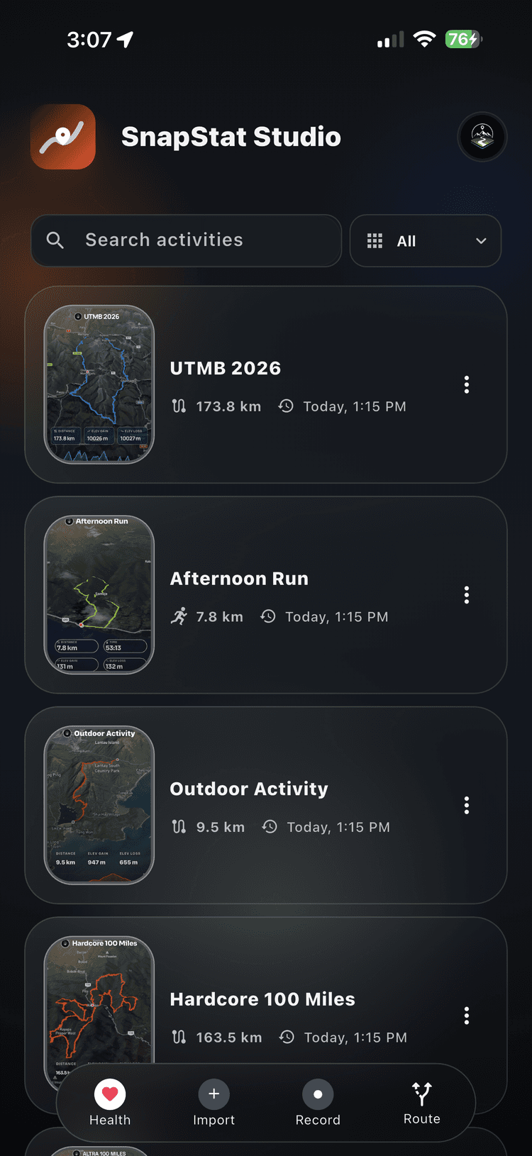

Bring in workouts from Apple Health, import GPX, FIT, or TCX files - including routes exported from Strava - or record an activity and create a route in the app. Then turn your route, elevation, pace, speed, and photos into a visual story made for sharing.
Show pace, distance, elevation gain, and the shape of every road run or technical trail route.
Visualize road rides, gravel adventures, and mountain-bike climbs with route maps and performance stats.
Turn summit days, treks, and mountain routes into detailed 3D terrain-inspired memories.
Replay an activity from above and create dynamic flyby moments that reveal the full journey.
Choose clean map artwork or dimensional views that make climbs, descents, and landscapes stand out.
Combine activity maps, photos, and key sports stats in polished visuals for social media or print.
SnapStat Studio uses activity data to generate visuals, populate stats, and build route-based posters. Projects, cached data, and exports are designed around a local-first workflow.